|
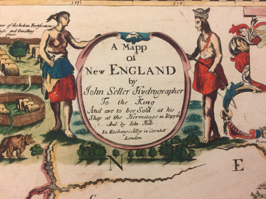
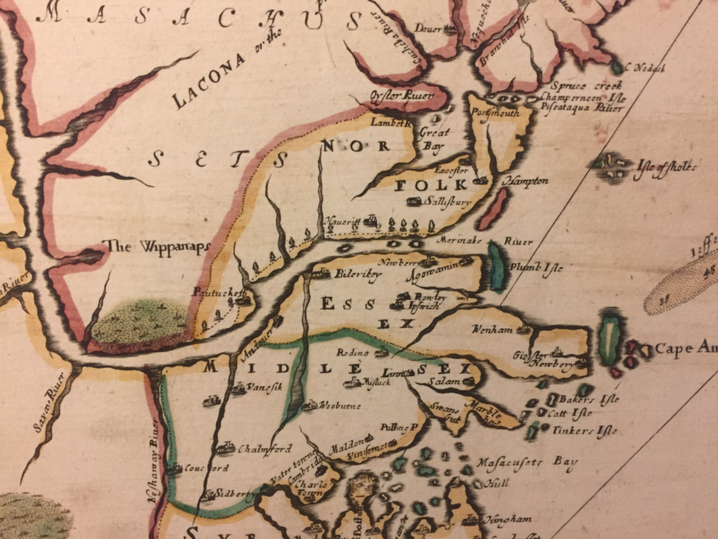
Below is a closeup of the Merrimack Valley section of an amazing map printed in London in 1670. Two cool features: First, it shows “Old Norfolk” County, the old county of Norfolk that extended from the Merrimack River north to the Piscataqua River. It existed from around 1640 to around 1680. Of note, Haverhill and Salisbury, being north of the Merrimack, are in Old Norfolk not Essex County where they later ended up, and so is all of what is now coastal New Hampshire. New Hampshire as a concept didn’t exist yet and Massachusetts Bay Colony asserted jurisdiction. Second, the map shows the Indian “praying town” of Wamesit, in modern-day East Chelmsford. The puritans (naturally) attempted to Christianize the natives. They - led by reverend John Eliot -went through great effort to translate the native Algonquin language into English so they could provide the Indians with a bible, called Mamusse Wunneetupanatamwe Up-Biblum God. They also had to teach the natives to read this new book written in Algonquin, a hitherto oral language. The Algonquin bible is a fascinating topic to which I hope to dedicate future blog entries. I can't decide whether to take it seriously. Some of the translations in generated are so absurd on their face as to call into question the validity of the whole endeavor. For example, Elliot translated "our lusts" (an important word no doubt for the puritans as "Nummatchekodtantamooongannunonash" which cannot possibly be a word. He translated "our loves" as Noowomantammoonkanunonnash, and "our questions" as Kummogokdonattoottammooctiteaongannunnonash, which might be the longest word I have ever seen. Some of the natives who converted were settled in so-called Praying Towns. I will write a separate blog post on the Praying Towns. After the first war between the English colonists and the natives in 1675 (which basically launched fifty years of intermittent Indian attacks on settlements like Haverhill and Andover), the Praying Towns were abandoned. Also a topic for a future blog post. The towns of Andover and Haverhill are visible, along with places like Salisbury downriver and Chemsford upriver. Present-day Lowell is called Pawtucket and present-day Newburyport is called Agawamin (not to be confused with present-day Agawam in Worcester County).
2 Comments
David
7/16/2024 02:15:49 pm
Interesting old map, though pretty inaccurate in parts. Billerica ("Bilerikey") is shown located on what must be the Shawsheen River though its always really been on the Concord River, and Concord town is shown located on the Nashua ("Nashaway") River though again it's always been on the Concord River (where the Sudbury and Assabet combine to form the Concord). Also, with regards to whether to take the Algonquin Bible seriously or not, the praying towns that were established by Elliot and his translated Bible were double-edged but very influential, in that Passaconaway's son Wannalancit, who inherited Passaconaway's Sachem title, kept his Wamesit village as well as other Pennacook affiliated peoples out of Metacom's war, no doubt saving countless lives and embracing peace and coexistence. Wannalancit was/is considered by many a Christian hero for this reason. He was/is also considered by others as one who capitulated to the English, and with the result of the southern Pennacooks all being driven out of Massachusetts after Metacom's war, it's tough to argue with that perspective.
Reply
Carl McCarthy
7/16/2024 02:27:31 pm
David thanks for your comments. You are very knowledgeable about local history. Please do not hesitate to share your thoughts on any of of the other blog articles.
Reply
Leave a Reply. |
|


 RSS Feed